MARS – National-Scale Seismic Risk Maps and Risk Communication: applied science in civil protection
The project was presented at the Auditorium of the National Central Library of Rome
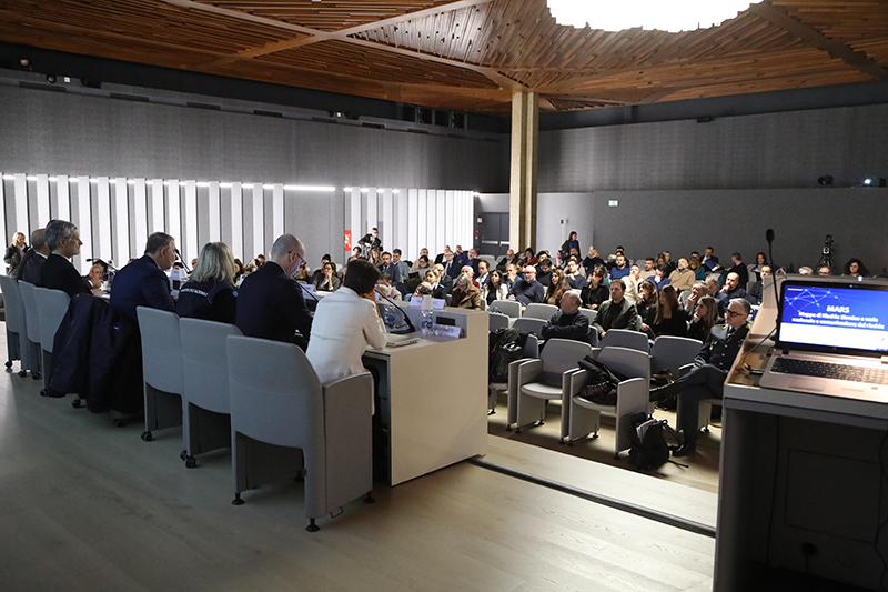
On December 1, the MARS project – National-Scale Seismic Risk Maps – was presented at the Auditorium of the National Central Library in Rome. This project aims to enhance the assessment of seismic risk in order to strengthen both structural and non-structural prevention measures. Its main goal is to reduce the likelihood of damage in case of an earthquake.
The project, promoted by the Civil Protection Department together with the competence centers ReLUIS-Network of University Laboratories of Earthquake and Structural Engineering and Eucentre-European Centre for Training and Research in Earthquake Engineering, aims to update the various types of seismic risk maps through probabilistic approaches, integrating data on public and private buildings across the country.
In our country, over the past 60 years, earthquakes have caused 5,100 casualties and a total loss of €240 billion — about €4 billion per year — half of which was spent solely on repairing damaged homes. These figures highlight the need to constantly adapt prevention measures.
The event was opened by the Head of Department, Fabio Ciciliano, who outlined the Department’s efforts in developing technical and scientific tools to guide strategic actions aimed at protecting human life, property, and communities. Forecasting and prevention activities, in fact, help reduce the impact of events on the territory, just as emergency management does. In this regard, the contribution of the scientific community is essential, which is why the Civil Protection Code includes it as an integral part of the civil protection system. Ciciliano also emphasized the importance of making scientific data and information accessible to citizens, as this is crucial to increasing the resilience of the population.
Risk mapping gained new momentum in 2018, when the Civil Protection Department, in collaboration with the scientific community, developed the 2015–2018 National Risk Assessment (NRA) for the European Union. This document also includes seismic risk maps for residential buildings, thanks to the contributions of ReLUIS and Eucentre, which made it possible to integrate advanced technologies and scientific expertise to assess the impacts of risk on residential buildings, schools, hospitals, cultural heritage, and infrastructure.
The assessments developed within the MARS project are directly applied to prevention activities: from allocating resources to regions for earthquake mitigation, to supporting the preparation of civil protection plans, to awareness-raising initiatives for the population, such as the Sicuro+ project, which focuses on promoting earthquake risk awareness.